
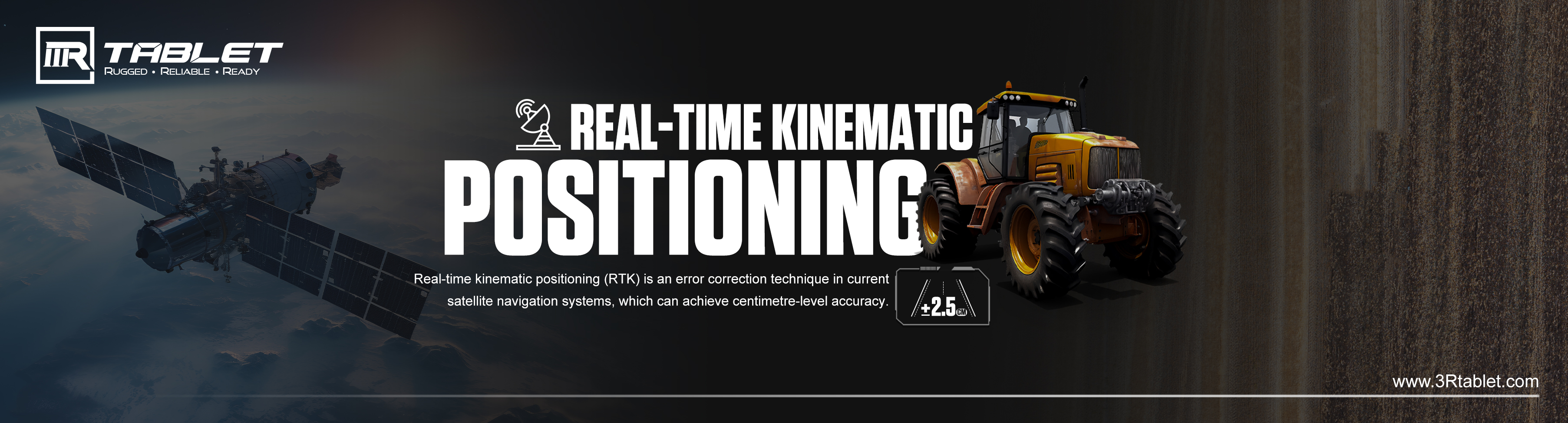
Real-time kinematic positioning (RTK) is a technique that corrects common errors in current satellite navigation (GNSS) systems. In addition to the information content of the signal, it also uses the measured value of the signal carrier phase, and relies on a single reference station or interpolation virtual station to provide real-time corrections, providing accuracy up to centimeter level.
Single Station RTK
The simplest RTK measurement form is carried out with the help of two RTK receivers, which is called single station RTK. In single-station RTK, a reference receiver is set up over a point with a known position and a rover (moving receiver) is placed over the points whose position is to be determined. Using relative positioning, the rover combines its own GNSS observations with the reference station to reduce the sources of error and then obtains the position. This requires that the reference station and rover observe the same group of GNSS satellites at the same time, and the data link can transmit the position and observation results of the reference station to the rover station in real time.
Network RTK (NRTK)
In this case, the RTK solution has a network of reference stations at its own disposal, which allows the user receiver to connect to any reference station by following the same principle. When using the reference stations network, the coverage of the RTK solution will be significantly increased.
With a network of reference stations, it is possible to model distance-dependent errors more precisely. Based on this model, the dependence on the distance to the nearest antenna is greatly reduced. In this setup, the service creates an imaginary Virtual Reference Station (VRS) close to the user, in effect modelling the errors at the position of the user receiver. Generally speaking, this method provides better corrections in the whole service area and allows the reference station network to be less dense. It also provides better reliability because it depends less on a single reference station.
In short, by applying measurement techniques to correct errors in satellite navigation systems, RTK opens up the possibility for GNSS technology to achieve centimeter-level accuracy. The excellent precision of RTK makes it an ideal choice for many industrial projects, including agriculture, mining and infrastructure development. In these industries, accurate positioning is crucial to success. Taking agriculture as an example, by ensuring the accurate implementation of agricultural tasks, farmers can improve operational efficiency. This not only maximizes crop yields, but also optimizes the utilization of resources such as fertilizers and water, thus saving cost and forming more sustainable farming methods.
3Rtablet now supports optional built-in RTK module in latest tablet AT-10A, which further improves the performance of tablet in different application scenarios and harsh working conditions. By accessing highly accurate positioning data on portable devices, professionals from all walks of life can easily and accurately perform field work.
Post time: Dec-25-2023
